2 April 2026 - Society
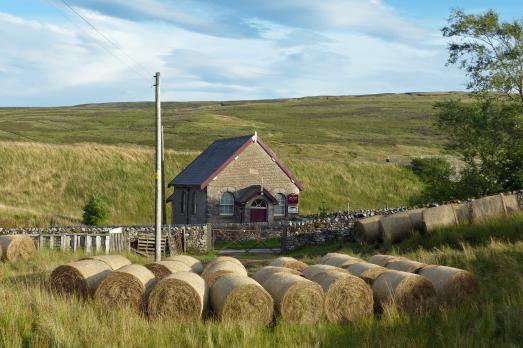
Hawes Junction/Mount Zion Methodist Chapel
The Council are advised that 2026 is a very special year for Hawes Junction Methodist Chapel because it is the 150th Anniversary year. The Friends of the Chapel have put together a programme to celebrate this event, please see below.